File:Mt Beauty Pano, Vic, jjron, 09.05.2013.jpg
預覽大小:800 × 208 像素。 其他解析度:320 × 83 像素 | 640 × 166 像素 | 2,166 × 562 像素。
原始檔案 (2,166 × 562 像素,檔案大小:554 KB,MIME 類型:image/jpeg)
| 描述 |
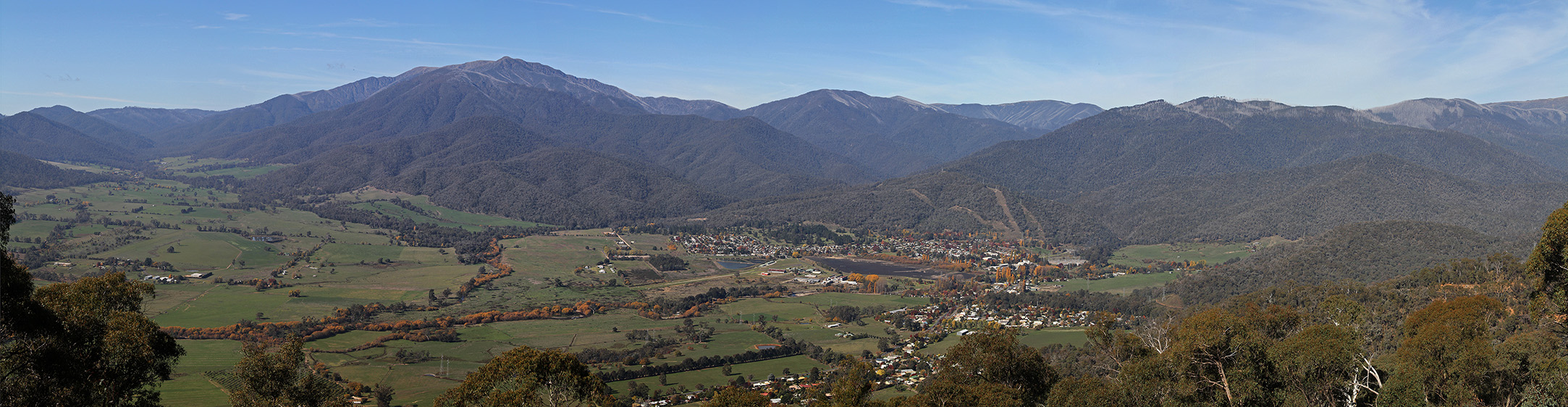
English: The town of Mount Beauty on the Kiewa River in the Kiewa Valley. The town is at the foot of Mount Bogong, Victoria's highest mountain at 1,986 metres (6,516 ft). Looking east from Sullivans Lookout on the Tawonga Gap Rd. Victoria, Australia. |
||
| 日期 | |||
| 來源 | 自己的作品 | ||
| 作者 |
This and/or similar images may be available from me in a higher quality or higher resolution format if required. Different terms or a fee may apply. |
||
| 授權許可 (重用此檔案) |
I, the author, release this image into the Public Domain as Copyright Free for use worldwide.
|
||
| 其他版本 |
|


| 拍攝地點 | | 位於此地的本圖片與其他圖片: OpenStreetMap |
|---|
檔案歷史
點選日期/時間以檢視該時間的檔案版本。
| 日期/時間 | 縮圖 | 尺寸 | 使用者 | 備註 | |
|---|---|---|---|---|---|
| 目前 | 2013年5月14日 (二) 22:20 | 2,166 × 562(554 KB) | Jjron | {{Information |description={{en|The town of Mount Beauty at the foot of Mount Bogong, Victoria's highest mountain at {{convert|1986|m}}. Looking east from Sullivans Lookout on the Tawonga Gap Rd. Vict... |
檔案用途
沒有使用此檔案的頁面。
全域檔案使用狀況
以下其他 wiki 使用了這個檔案:
- en.wikipedia.org 的使用狀況